WHAT IS A BARRIER ISLAND?
T
THE BARRIER ISLANDS in southeastern North Carolina are a
narrow, thin veneer of sand sandwiched between offshore sand-poor
areas and marsh grasses and muds on the landward side of
the island. Our simple, narrow barrier islands are termed sand-starved,
more subject to overwash than the wider barriers that
are termed complex and are more stable.
The barrier islands are comprised of sediments that have
moved landward across the continental shelf as sea levels have
risen since the last major glaciation 18,000 years ago. There is
very little new sand being added as most of the rivers carry little
sediment to the beaches. The Cape Fear has multiple dams on
the river limiting coarser sediments from moving downstream.
The sediments that compose the barriers have been mov-ing
landward over the past 10,000 years. These are termed
Holocene deposits (the youngest geologic age). There is an
effort underway to name the last several hundred years the
Anthropocene (age of humans) because of the significant
impact of humans on our changing world.
Most of our barriers are retrogradational, meaning they
are moving landward with rising seas and with storm activity
moving sand across the island in the island rollover.
When you core through the island sands you will find old
ocean sediments and just below the thin sand veneer of the
barrier you will often encounter marsh sediments. In fact,
old marsh sediments may be seen in the wave zone on several
beaches including Topsail, Masonboro and Oak islands. These
old Spartina marshes, which were once living behind the barrier
islands, have been exposed as the islands retreat landward.
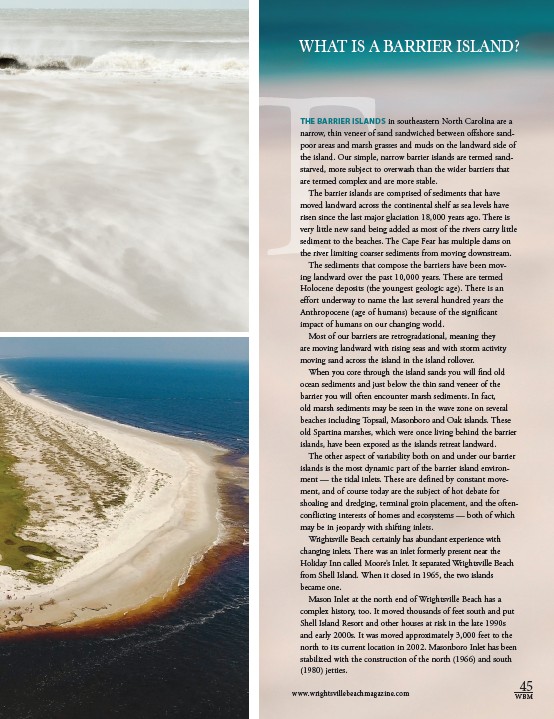
The other aspect of variability both on and under our barrier
islands is the most dynamic part of the barrier island environ-ment
— the tidal inlets. These are defined by constant move-ment,
and of course today are the subject of hot debate for
shoaling and dredging, terminal groin placement, and the often-conflicting
interests of homes and ecosystems — both of which
may be in jeopardy with shifting inlets.
Wrightsville Beach certainly has abundant experience with
changing inlets. There was an inlet formerly present near the
Holiday Inn called Moore’s Inlet. It separated Wrightsville Beach
from Shell Island. When it closed in 1965, the two islands
became one.
Mason Inlet at the north end of Wrightsville Beach has a
complex history, too. It moved thousands of feet south and put
Shell Island Resort and other houses at risk in the late 1990s
and early 2000s. It was moved approximately 3,000 feet to the
north to its current location in 2002. Masonboro Inlet has been
stabilized with the construction of the north (1966) and south
(1980) jetties.
45
www.wrightsvillebeachmagazine.com WBM